|
| 3D Google Map plot of my GPS route up the mountain. |
Mount Kinabalu revisited after my last visit 2006 10 years ago (clicklink) where I had more time looking at plants etc. This time I took time to learn and ID the peaks.
Took a flight from Senai Johor instead this time. And for a change we tried the last train 5-minute ride S$5 from Singapore Causeway to Sentral Johor. Then we took a taxi to the airport R$77. We have to spend the night in the airport but alas there are no aircon and not enough spare benches to sleep on. Hours passed and travelers started streaming in.
Summary
0) 19 April Tuesday
- 11:15pm train from Woodlands check point to Johor Sentral
- Spend the night in Senai Airport
- Flight 7 45am
1) 20 April Wednesday
- Checked in Capital hotel not far from sea front. Explore the Gaya Street for its food
- Evening stroll along the Habour Walk watching a fiery sunset and have sea food for dinner.
2) 21 April Thursday
- Walk up the 250m Signal Hill Observatory
- Kundasang Market - tasted the exotic fruit Buah Lemak ( Pouteria campechiana) with its orange powdery sweet fresh and fell in love with it.
- Visited the Desa Cattle Dairy Farm - feed the cows and sheep, drink the milk .. remind of my NZ days
- Stop somewhere having lunch.
- Checked into a remote Mountain Lodge ( 2Km away from Park HQ). Walked a short distance away from Lodge to see the KK Mountain face. Another red sunset today. No mobile signal
3) 22-23 Into the Mountain
- Timpohon Gate - meet our guide cum porter
- walk walk walk to Laban Rata
- Packed lunch@ 4Km point
- To summit 2:30am and it was drizzling as forecasted. A better ascent than 10 years ago nonetheless. Trained on steps in Singapore so no phobia about steps...
4) 24 April Sunday
- back at Capital Hotel 23 evening.
- Sunday Market at Gaya Street
- Go see Atkinson clock tower, buy Kampung Adidas from Segama, walked to Jesselton Point Ferry terminal
- Flew back to Changi - home sweet home 2:15 flight
 |
| Morning sky @ Senai Airport Johor - 6:47 am 21 April 2016. Didn't know the airport shut down aircon during the night time and there are no 24 hrs eateries. |
 |
| Sunset KK waterfront on first day of visit 21-April-2016. |

ELEVATION PLOT ( height versus distance move )
1) HQ Timpohon Gate -> Laban Rata
2) Laban Rata -> Summit [ 2 am summit climb ]
3) Summit -> Laban Rata
4) Laban Rata for lunch and back to Timpohon ( not shown above) - should be a symmetry shape.
IT IS a continuously uphill climb all the way to the summit. Going up is less taxing then the coming down. We got sore leg muscle after coming back from summit to Timopon.
Just few weeks before we left for KK I posted a picture of an interesting 'skull' rock face (see insert image below) in my first visit. Some says it looks like a rabbit facing right and I tend to see it as outline of Australia map.
Then after the 2015 mag 6.0 June 5 7:15am earthquake a visible chunk was forced out of the rock face. The twin "chimney-like" structures still stand after the quake but the skull was punched out from inside.
SIMPLY ROCKS - In reverse order...
 |
THe long road to summit in the distant - Low's Peak
Getting closer to Low's Peak - 4095m the highest point. |
 |
| The prettiest peak - South Peak (3922 m) - which appeared on the now defunct 1-$Ringgit Note |
 |
| Victoria Peak in Centre and the horn-St John's Peak |
 |
St John's Peak - with an orangutan face and group of climbers to rent a scale. I didnt notice this during my last visit.
Me and the Orangutan rock face .. same GPS same lekki stick before
A= painted over white line , B=White Rope ( it was mentioned in 1995 that painted white lines were in the mountain). Not sure the one noted as A on the left lead to where |
 |
| Found a 'Merlion' or a Lion facing left. |
 |
| Low's Gully ~1800m drop. Deep gully shot from the summit. There is at least one unfortunate fatality from the summit where a German girl fell 100 ft after stepping over the railing for a better selfie. |
 |
Chip off after the June 5 2015 7:15am earth quake
|
 |
| Me and the white boulders - quake released rocks. |
 |
Tunku Abdul Rahman Peak (3948m) - Note the streams of debris from 2015 June quake
Thick gloves were needed for using the thick nylon rope.. The rope serve as a guide line. Imaging in adverse weather with limited visibility and strong gale - this is your life line to guide you down safety |
. |
Trails before reaching the Laban Rata- stunted twisted branches and orange-yellow stones and sands
Nikon P900 2,000 mm make to good use to zoom in the Kinabalu Peaks as seen from the trail
What appeared to be a stream of water cascading down the smooth rock was resolved into man-made steps and white rope line. Not sure is the new one or old line.
The horn of St John's
The Donkey Ears - the left one decapitated by June 5 2015 mag 6.0 earthquake
A closer look of the Abdul Rahman Peak - with the U-shaped Cauldron Gap
|
 |
| Add caption |
 |
At Sayat-Sayat Hut.
|
 |
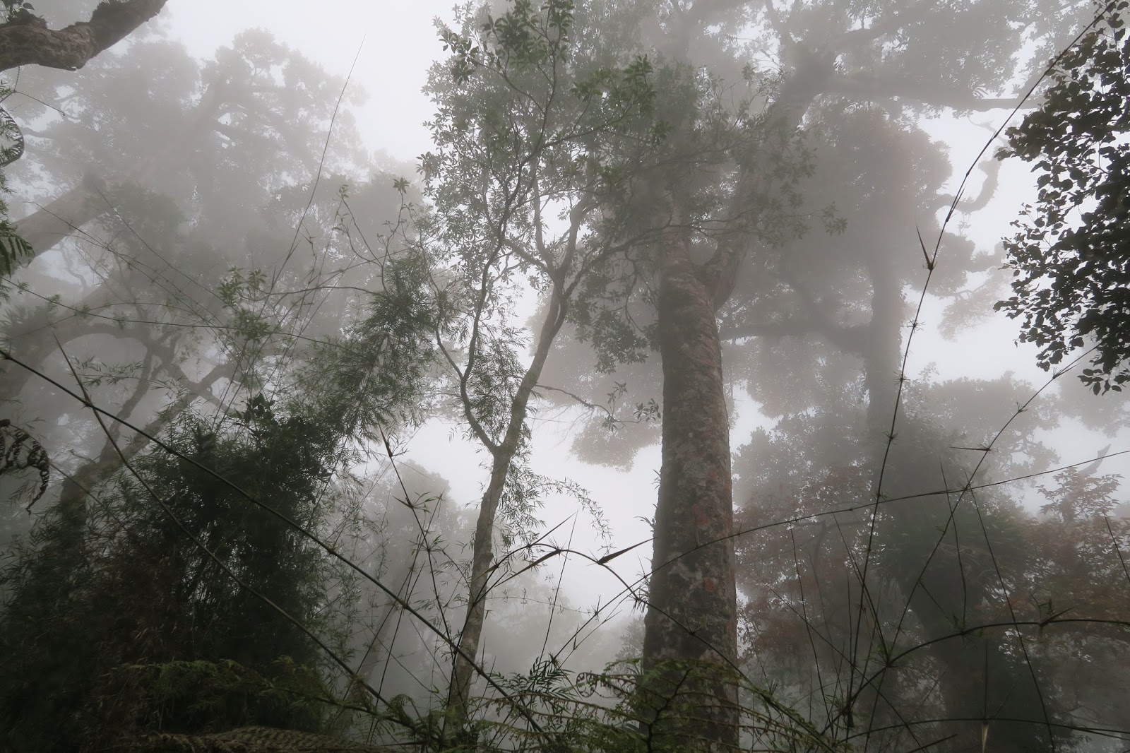
| Fog coming in and i felt chilled |
 |
Laban Rata with yellow roof where we stayed for dinner and short sleep before kicking got off for early am ascend towards summit.
Briefing by our guide.
|
COMPARING G. Kinabalu WITH G. Rinjani
 |
Lombok Gunung Rinjani Steeper than KK and Up-down-Up down trails
Along the way pick out these
|
 |
Nepenthes villosa
|
 |
Raspberry (Rubus lineatus)
|
 |
| The white spotted leaves |
 |
Trachymene saniculifolia
|
 |
| Bornean Treepie (Dendrocitta cinerascens) |
|
Sabah's Mount Kinabalu - note the up-and-up climb.
From the Mountain Lodge 2 Km away from HQ.
|